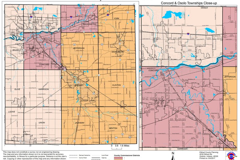
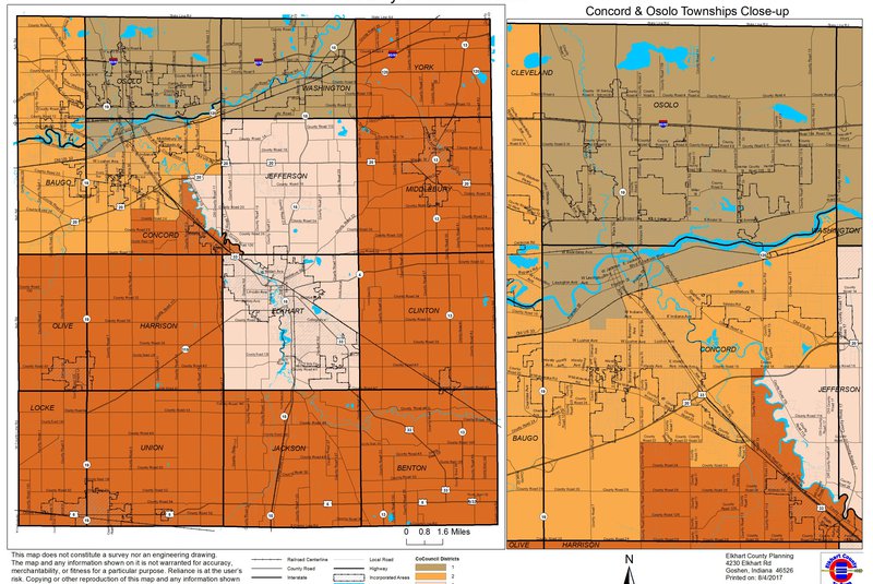
Geographic Information Systems (GIS) link data to geographic location for management and analysis. Several Elkhart County departments use GIS to efficiently access, map and manage a variety of information. This includes highway projects, parcel data, zoning, and much more!
The public may purchase GIS maps from the county according to the GIS Ordinance and fee schedule. Maps sized 8.5x11 to 36x48" may be purchased at the Public Service Building or Auditor's Office in the Administration Building.
Maps can also be printed from the Elkhart County GIS website.

